May Heat Spike in Southeast Australia Set to End as Cold Front Brings Rain and Cooler Temperatures
Record May heat in southeast Australia gives way to a cold front, dropping temperatures to the high teens and bringing rain and thunderstorms.
*TL;DR: Southeast Australia’s record May heat is ending; a cold front will bring rain and drop daytime highs to the high teens by early next week.*
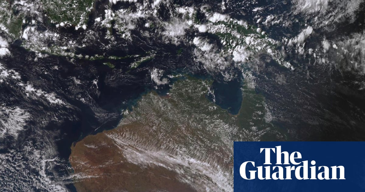
Context A strong high‑pressure ridge pushed warm northerly winds over New South Wales, Victoria, South Australia and Tasmania at the start of May. The resulting daytime temperatures were 10‑14 °C above the long‑term average, and dozens of weather stations logged their warmest May day on record. Night‑time readings were also 8‑12 °C above normal.
Key Facts - Friday’s highs topped the climatological average by 10‑14 °C across the four states, with Geelong, Shepparton and Bendigo reaching the high 20s Celsius, while Hobart and Launceston recorded 26.9 °C and 24.3 °C respectively. - The same night, temperatures remained 8‑12 °C above average in parts of South Australia, Queensland, Victoria, Tasmania and New South Wales. - April 2024 was Australia’s driest month since 2018, leaving soils parched and amplifying fire risk. - A cold front formed when a Southern Ocean low merged with a cloud band over Western Australia, sweeping across South Australia on Saturday and moving eastward. - Bureau of Meteorology (BoM) meteorologist Christie Johnson warned that “unseasonably warm conditions” will reverse as cooler air spreads into South Australia and western Victoria on Sunday, pulling maximum temperatures down to the high teens. - The front will continue east, reaching the broader southeast on Monday with “much cooler temperatures” and a heightened risk of severe thunderstorms, heavy rain and flash flooding. - Sydney will stay relatively warm, holding mid‑20s Celsius through the week, with a peak of 26 °C on Sunday and 25 °C on Monday. Melbourne, however, will see rain all week, dropping from a 23 °C high on Sunday to 13 °C by Thursday.
What It Means The abrupt shift from record heat to a cooling, wet pattern underscores the volatility of Australia’s spring climate. Farmers facing the driest April since 2018 may receive much‑needed rainfall, but the rapid temperature swing raises concerns for frost‑sensitive crops and livestock. Urban areas, especially Melbourne, must prepare for possible flash floods and wind‑driven debris as thunderstorms intensify.
Looking ahead, forecasters will monitor the lingering cold air mass for signs of re‑intensification. The next week’s temperature trend and precipitation totals will indicate whether the region can recover from the early‑May heat spike or face a prolonged period of unsettled weather.
Continue reading
More in this thread
IMO Revives Global Shipping Emissions Talks, Sets Dates for 2025 Negotiations
Dr. Leo Tanaka
German rescuers release beached humpback calf despite experts warning of low survival odds
Dr. Leo Tanaka
Rising CO₂ Lowers Protein in Wheat and Rice by Up to 17%, Threatening Global Nutrition
Dr. Leo Tanaka
Conversation
Reader notes
Loading comments...